The essential guide for those who want to cycle the Canal de Bourgogne, available online or from the Tourist Office.
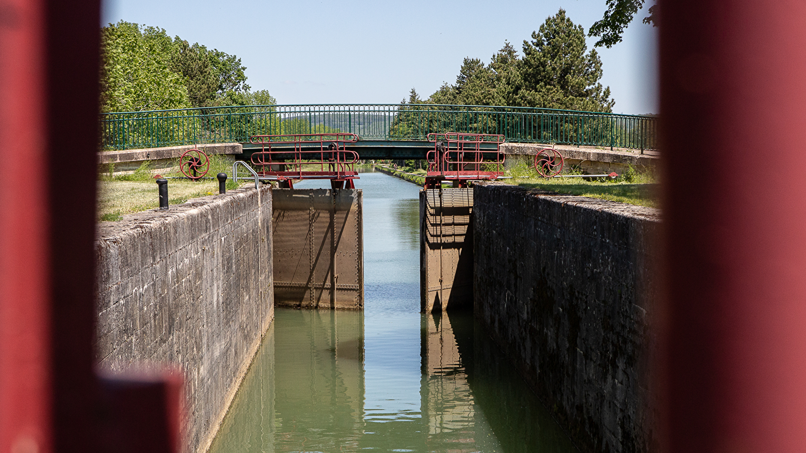
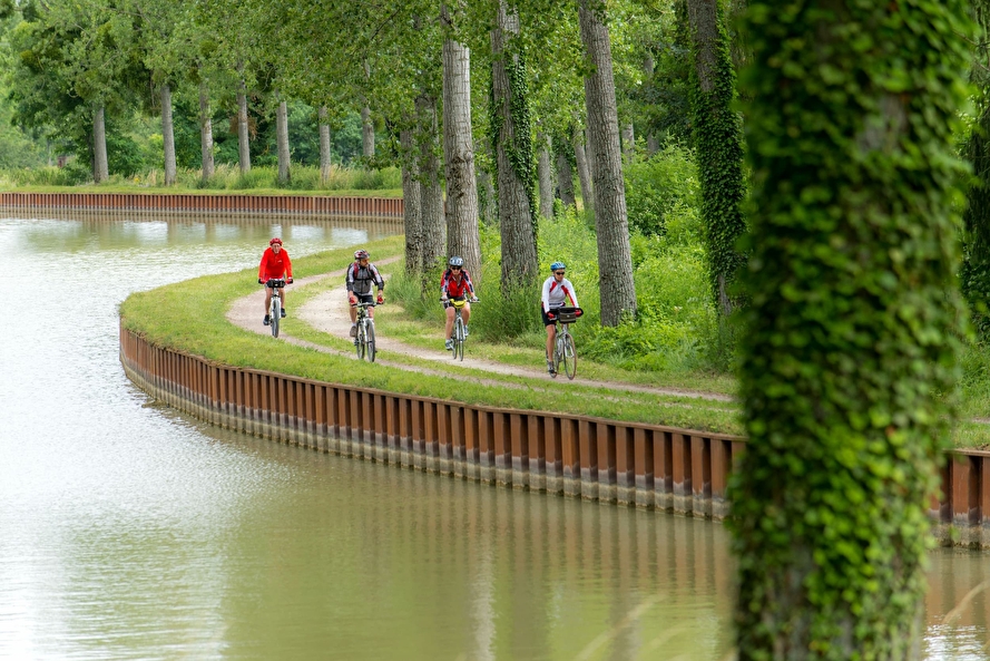
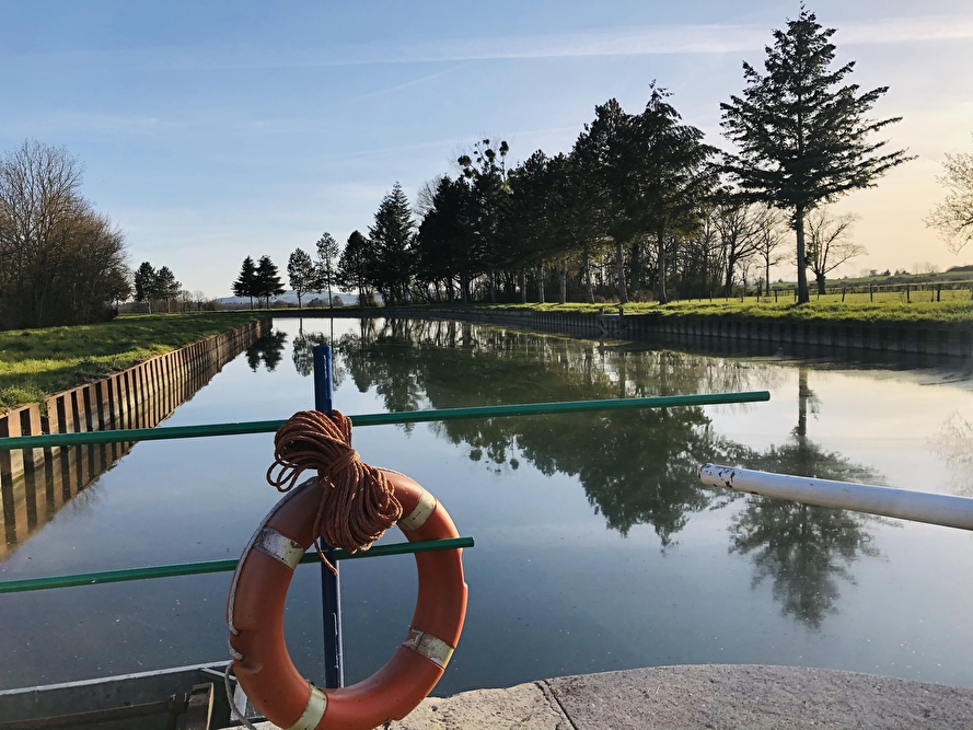
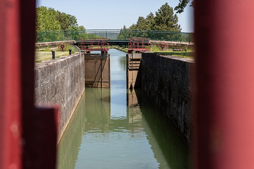
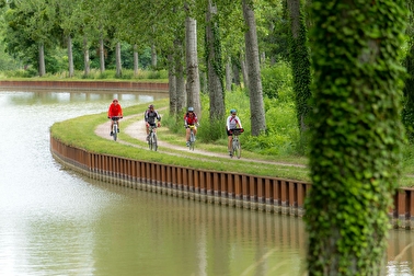
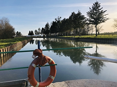
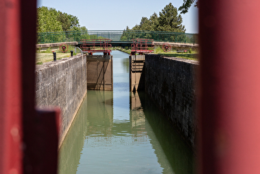
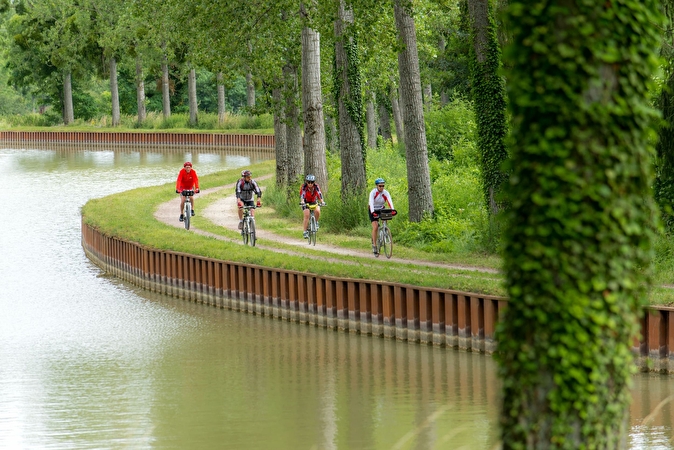
Are you on holiday in the region and dreaming of a bucolic cycling break? The Canal de Bourgogne cycle route, 242 km long and running from Migennes to Dijon, is the perfect way to discover the Auxois region and its rich historical and cultural diversity. Featuring locks, traditional villages and tourist attractions, there are several itineraries for you to follow at your own pace.
Guide and map of the canal by bike


This map shows the route of the Côte d'Orienne section of the canal and the loops that will take you to the most beautiful tourist sites in the Auxois region.
3 ideas for routes along the Canal de Bourgogne
There are three routes to discover the Auxois:
- The first, leaving from Semur-en-Auxois, joins the Canal de Bourgogne at the Marigny-le-Cahouët lock, then runs alongside it before heading towards Montigny-sur-Armançon and the Lac de Pont, before returning to Semur;
- The second runs towards Précy-sous-Thil ;
- And the third towards Saint-Thibault and Vitteaux.
These 3 routes can be seen on the Canal map, which you can download above, or on the ‘Balades en Bourgogne' (Walks in Burgundy) app.
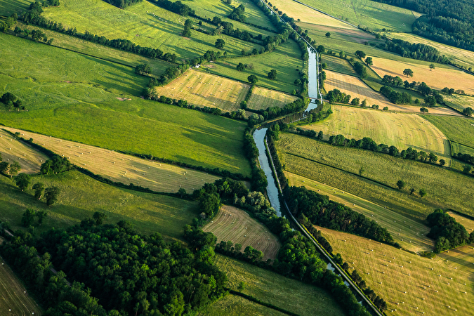
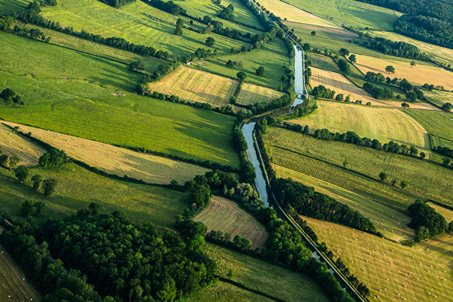
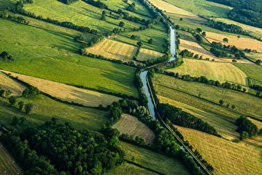
Vue aérienne du canal de Bourgogne
OTTA (c) C.Jachymiack Agence NSPR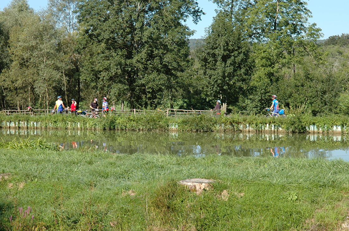
Vélovitamine, tour guide
For an escapade by bike (or on foot, or climbing), Vélovitamine will accompany you and help you discover the authentic Auxois thanks to a personalised service tailored to your needs. All you have to do is let yourself be guided (and pedal!).
Outdoor activities

